 vesseltracker.com
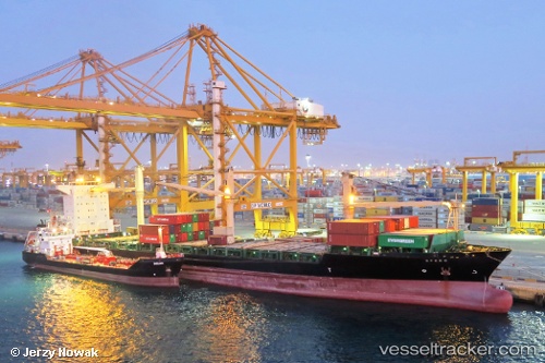
Vessel MSC NIKOLETA IMO: 9232644, MMSI: 636020902 Container Ship
UTC, 4.72527, -6.59915, course: 90, speed: 0
UTC, 4.72556, -6.59929, course: 96, speed: 0.2
2026-02-28 20:25:25 UTC, 4.72632, -6.59918, course: 125, speed: 0.1
Live AIS position:
UTC. Near San Pedro),
updated 2026-02-28 20:25:25 UTC.
Find the position of the vessel MSC NIKOLETA on the map. The latter are known coordinates and path.
marine traffic ship tracker show on live map
The current position of vessel MSC NIKOLETA is 4.72632 lat / -6.59918 lng. Updated: 2026-02-28 20:25:25 UTCCurrently sailing under the flag of Liberia
MSC NIKOLETA built in 2002 year
Deadweight:
22968 tDetails:
Last coordinates of the vessel:
UTC, 4.72562, -6.59934, course: 103, speed: 0UTC, 4.72527, -6.59915, course: 90, speed: 0
UTC, 4.72556, -6.59929, course: 96, speed: 0.2
2026-02-28 20:25:25 UTC, 4.72632, -6.59918, course: 125, speed: 0.1